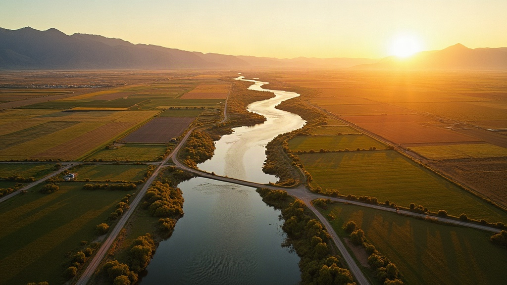
On September 28, 2026, the Nampa-Meridian Irrigation District will shut off water delivery for the season. So will the Boise-Kuna Irrigation District and Pioneer Irrigation District. For most Treasure Valley homeowners, that date passes without much notice. But for the aquifer beneath your feet, it marks the start of one of the most critical windows of the year.
Here is why that matters. A meaningful portion of the water flowing through our region's canal network doesn't make it to the fields. It seeps down through the soil, through gravel beds, and into the Western Snake River Plain Aquifer. That process, called incidental recharge, is one of the main reasons Treasure Valley groundwater levels recover each year. When irrigation shuts off on September 28, that recharge pipeline closes.
At the same time, 2026 has brought new pressure on the aquifer from a direction that wasn't on most homeowners' radar: data center cooling systems in the Kuna area are drawing groundwater at rates that have caught the attention of the Idaho Water Users Association and researchers at Boise State University. The numbers, for the first time, are prompting serious monitoring conversations at the state level.
We put this article together because understanding what is happening below ground gives you better information for decisions above ground, including whether your water softener is sized correctly, whether your hardness has shifted, and whether it's time for a fresh water test.
By the Numbers
The Idaho Department of Water Resources (IDWR) monitors more than 1,100 groundwater wells statewide, with over 500 equipped with continuous data loggers. Many of those wells sit in Ada and Canyon Counties, giving us a detailed picture of how Treasure Valley aquifer levels shift through the seasons.
What Is the Treasure Valley Aquifer, Exactly?
The "aquifer" isn't a single underground lake. It's a layered system of permeable rock, gravel, and sediment that holds water in its pores and cracks. In the Treasure Valley, that system is part of the broader Western Snake River Plain Aquifer, which extends across much of southwestern Idaho.
The geology here is mostly basalt (volcanic rock) interlayered with gravel and sand deposited by ancient rivers. Water moves through the spaces between those layers slowly, sometimes taking years to travel from the surface to a well casing 200 or 300 feet down. That slow movement is actually what makes the aquifer both valuable and vulnerable: it buffers against drought, but it doesn't recover quickly from sustained over-pumping.
In Ada County, the primary aquifer used for municipal supply sits roughly 100 to 400 feet below ground, depending on location. Canyon County wells tend to go deeper in some areas and shallower in others, depending on the local geology. Boise, Meridian, Eagle, Nampa, Caldwell, Kuna, and Star all draw from variations of this same interconnected system.
For context on how your tap water gets from the ground to your tap, our earlier piece on Idaho groundwater and where your tap water comes from covers the full journey in detail.
Treasure Valley Aquifer Levels in 2026: What the Monitoring Shows
IDWR conducts manual well measurements twice a year, typically in spring and fall, and supplements that with continuous telemetry data from select monitoring wells. In 2026, the spring measurements reflected a moderate recharge season. The 2025-2026 winter brought above-average snowpack to the Boise front range, which translated into higher Boise River flows and better-than-average canal deliveries through the early part of the irrigation season.
That is good news for spring levels. Summer drawdown, however, has been consistent with prior years: as irrigation demand peaks across Ada and Canyon Counties and as residential outdoor water use climbs with the population, levels in the aquifer drop measurably from their May high point toward an October low.
Seasonal Pattern
Treasure Valley aquifer levels typically peak in May to June after spring snowmelt and canal delivery begins. They reach their seasonal low point in October to November, after irrigation shutoff stops the incidental recharge. Winter precipitation then slowly begins the recovery cycle before the following spring.
IDWR's Treasure Valley Managed Recharge Feasibility Study, completed in 2020, identified this seasonal pattern and evaluated whether active managed recharge (deliberately routing water into the ground during high-flow periods) could buffer against long-term decline. That study found feasible recharge sites and has informed ongoing planning discussions.
Year-over-year comparison of some monitoring wells in the Meridian and Kuna areas shows a gradual trend: some wells are measuring slightly lower in fall 2026 than they did in 2020. Not a crisis, but a trend that water managers are watching carefully.
Data Centers and the New Demand on Groundwater
This is the piece that has changed in 2026. Several large data center facilities have come online or expanded in the Kuna and greater Canyon County corridor. Data centers use water, often in large volumes, primarily for cooling. When outside air temperatures rise through a Treasure Valley summer, cooling demand spikes.
The Idaho Water Users Association flagged data center groundwater permitting as a monitoring priority at their 2026 annual meeting. Boise State University researchers studying cumulative aquifer drawdown have noted that while individual data center permits may appear modest, the aggregate effect of several facilities drawing from the same aquifer system warrants closer study.
To be clear: data centers in the Kuna area are operating with valid water rights issued by IDWR. But the volume of those permits, combined with existing agricultural and residential demand, is pushing the question of whether the Western Snake River Plain Aquifer system in Treasure Valley has meaningful long-term capacity constraints.
Why Aquifer Geology Makes Treasure Valley Water So Hard
Here is the direct connection between aquifer levels and what you experience at your faucet. The water in the Treasure Valley aquifer has traveled through basalt, limestone, and calcium-rich sedimentary layers. As it moves, it picks up dissolved minerals, primarily calcium and magnesium. The deeper the source and the longer the contact time, the more minerals the water accumulates.
That is why Treasure Valley water consistently tests hard:
- Boise: 10 to 15 grains per gallon (gpg), depending on neighborhood and season
- Meridian: 12 to 17 gpg, often on the higher end due to source well depth
- Nampa and Caldwell: Generally in the 10 to 14 gpg range
- Eagle and Star: Typically 9 to 14 gpg
- Kuna: Can run 13 to 18 gpg in some zones, particularly from deeper well sources
Anything above 7 gpg is considered hard water. Most of Treasure Valley sits well above that threshold. At 12 to 17 gpg, you're looking at significant scale buildup in water heaters, dishwashers, and appliances, plus the skin and hair effects that come with high mineral content.
When aquifer levels drop significantly (as they can toward the end of irrigation season), some wells draw from deeper or different portions of the aquifer, which can shift the mineral profile slightly. This is one reason we recommend testing your water at least every year or two, not just when you first install a softener. Our comparison of water quality by city across the Treasure Valley shows how much variation exists even within short distances.
What Homeowners in Boise, Meridian, and Nampa Should Do Now
The aquifer numbers in 2026 don't mean you need to panic or rush to dig a deeper well. What they do mean is that understanding your specific water quality is more valuable than ever, because conditions are measurably shifting and the pressures on the system are real.
Here are the practical steps worth taking this fall:
- Get a fresh water test. If it's been more than a year since your last test, September through November is a good time because you're testing near seasonal low water levels. That tells you the higher end of what your water chemistry looks like.
- Check your softener efficiency. If your softener was sized for 12 gpg and your water is now running 15 gpg, it will cycle more frequently and use more salt than planned. A quick assessment can confirm it's keeping up.
- Inspect your water heater. Scale buildup in the tank is a direct result of hard water and accelerates at higher hardness levels. Flushing the tank each fall extends its life significantly.
- Consider a reverse osmosis system for drinking water. Even well-treated softened water has sodium ions exchanged in for calcium and magnesium. RO at the kitchen tap removes those and produces very clean drinking water.
Free Water Test This Month
We're offering free water tests throughout Boise, Meridian, Nampa, Eagle, Star, and Kuna through the end of the month. We'll give you the exact hardness number, iron level, and pH, plus a plain-language explanation of what the results mean for your home.
What the State Is Doing About Aquifer Management
Idaho isn't sitting still. IDWR's monitoring network continues to expand. The Treasure Valley Managed Recharge Feasibility Study has opened conversations about proactively banking water in the aquifer during high-flow periods to offset summer and fall drawdown. The Idaho Water Resource Board has made managed recharge a funding priority in recent years.
According to IDWR's publicly available groundwater data and monitoring documentation, the department tracks over 2,300 wells statewide when you include partner agency monitoring (USGS, Bureau of Reclamation, and private consultants). That collaborative approach gives water managers a fairly complete picture of what is happening at the basin level.
From a homeowner's standpoint, the relevant takeaway is this: state agencies are paying close attention, and the regulatory framework for water rights management in Idaho is reasonably robust. What the data is showing, however, is that demand is growing and recharge is finite. The conversation about long-term aquifer management in Treasure Valley is becoming more urgent.
The USGS Idaho Water Science Center also contributes monitoring data and research on Snake River Plain hydrology, which informs state-level decision-making on water rights and aquifer management.
Frequently Asked Questions About Treasure Valley Aquifer Levels
What are the current Treasure Valley aquifer levels in 2026?
The Idaho Department of Water Resources (IDWR) monitors over 1,100 wells statewide, with many in the Treasure Valley. In 2026, aquifer levels in Ada and Canyon Counties reflect a combination of a strong spring snowpack recharge and steady summer drawdown from irrigation, residential, and now commercial data center demand. Some monitoring wells in the Kuna and Meridian areas show measurable year-over-year decline compared to the 2020 baseline, prompting IDWR to commission a Treasure Valley Managed Recharge Feasibility Study.
Why does my Boise or Meridian tap water feel so hard?
Treasure Valley water comes primarily from deep aquifer sources where water travels slowly through layers of basalt, limestone, and sedimentary rock. As it moves through those layers, it picks up dissolved calcium and magnesium. Boise tap water typically tests between 10 and 15 grains per gallon (gpg), and Meridian water often runs 12 to 17 gpg. The deeper the aquifer source, the longer the contact time with minerals, and the harder the water.
What happens to the aquifer when irrigation shuts off in late September?
Canal water doesn't just flow past your neighborhood. A meaningful share of it seeps down through the soil and into the aquifer, a process called incidental recharge. When the Nampa-Meridian Irrigation District shuts off water on September 28, 2026, that seepage stops. The aquifer then depends entirely on natural precipitation and any managed recharge efforts through the winter. Groundwater levels typically reach their seasonal low point in October and November before winter snowpack begins restoring them.
Are data centers in Kuna really affecting Treasure Valley groundwater?
Yes, and it's a growing concern. Large data centers use significant volumes of water for cooling systems. Several facilities in the Kuna area have water rights permits drawing from the same Western Snake River Plain Aquifer system that supplies residential wells and city water systems. The Idaho Water Users Association has flagged this as a monitoring priority for 2026 and beyond, and Boise State University researchers are studying cumulative drawdown effects.
Should I test my water before installing a water softener?
Always. A water test tells you the exact hardness level (in grains per gallon), iron content, pH, and any other parameters that affect which softener size and type works best for your home. We offer free water tests throughout Boise, Meridian, Nampa, Eagle, Star, and Kuna. Call us at (208) 968-2771 or schedule online at truewateridaho.com/book/ to set up your test.
Get a Free Water Test This Fall
We'll test your water for hardness, iron, and pH at no cost. You'll know exactly what's coming out of your tap and what, if anything, to do about it. Serving Boise, Meridian, Nampa, Eagle, Star, Kuna, and Caldwell.